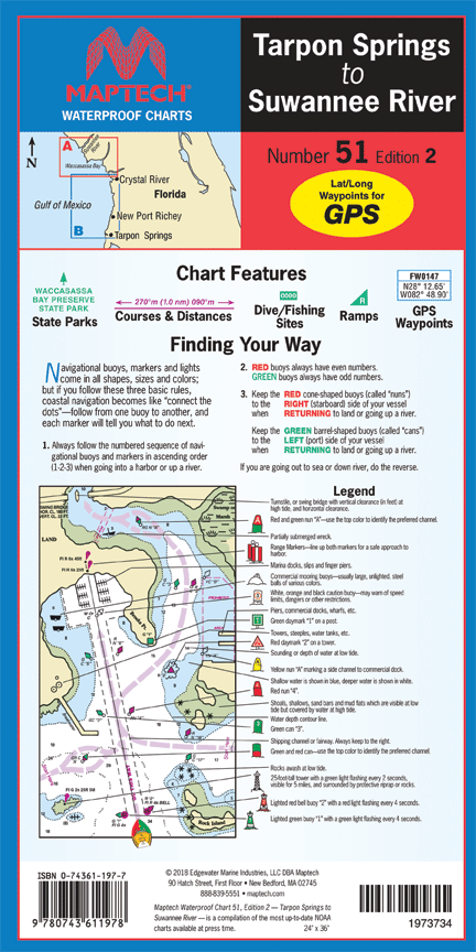
TARPON SPRINGS TO SUWANEE RIVER CHART – WPC051-02
MAPTECH MAP-WPC051-02
TARPON SPRINGS TO SUWANEE RIVER CHART
Description
Includes insets for Tarpon Springs and Cedar Keys.
Features:
-
24″ x 36″
-
waypoints for major aids to navigation
-
Pre-plotted courses and distances
-
Public boat launch locations.
-
Fish and dive sites and tables.
Brand
MAPTECH
Only logged in customers who have purchased this product may leave a review.


Reviews
There are no reviews yet.